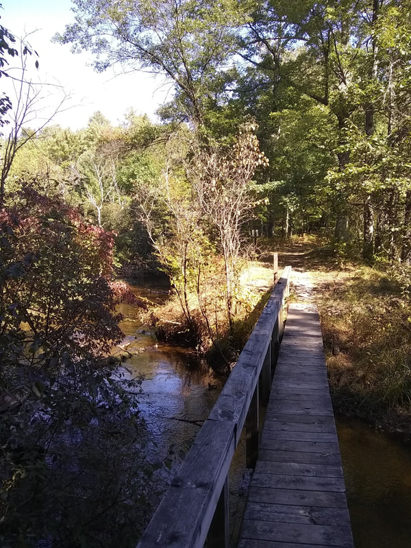
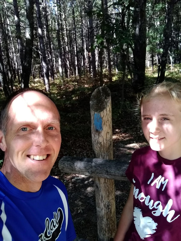
Newaygo North Country Trail Section 11 – W. Pierce Dr. to Nichols North Trailhead By Bret Brummel Distance: 7.29 miles The sunshine, blue skies and cooler temperatures made it an ideal day to run another section of the trail. I had heard some good things about this section and was hoping it would live up to the hype. I laughed when I put our destination into Google Maps and realized we would be driving 45 minutes one way to our destination. After all that time in a van, a good run would be appreciated. We began our run weaving through a wooden gate used to keep vehicles off the trail. The path was the normal single track, but it was wide enough to run side by side if we wanted. The unusual feature was the trail was cut about 5 feet below the ground level of the forest on either side. It was like running in a peaceful, dried-up canal. In a half mile, we exited the canal and encountered a foot bridge crossing Bear Creek that led us toward a few sections of wetland. The trail had a perfect balance of turns and hills to keep things interesting but not too difficult. We would approach one marsh at ground level and pass the next running on the bank of a hill. We would run through some mature planted pines, then through an oak forest. The trail would break into the open, head back into the woods, then cross a creek. There was so much to see that the miles were passing quickly. We did stop at mile 3 to take a picture of the bridge crossing Tank Creek hardly believing we had gone that far. With Anna leading the way, we crossed 11 Mile Road heading toward the Nichols Lake Campground. The trail is well marked, but at our running pace, we had to stop to make sure we were heading in the right direction after we crossed the road. We found the blue rectangles that led us up a few hills near the lake. At the top of one hill, you could see the lake in the distance. I informed Anna that I wanted a picture of the lake, so we kept running looking for a good spot to stop for a photo. We followed the trail around the south end of the lake, down a very steep hill, to a spot where we had to choose between 3 forks in the trail. Anna had no idea which fork to take and nowhere on the trees did we see the familiar blue rectangles that mark the way. We ran about 50 meters up the steep hill in two different directions without finding the blue markers and determined that we must have taken a wrong turn. We had to backtrack a quarter of a mile to find the error. We had missed a turn that would take us down to the boat launch on the south side of Nichols Lake. I did end up getting a good picture at the boat launch, it just would have been nice to not have to run the extra half mile to get it. Beyond the boat launch, the trail runs within 10 feet of the lake for a quarter mile before heading back into the woods. From there, we ran to the top of a hill that bordered the lake and offered a nice view as we continued north. Finally, we could hear some cars in the distance and it wasn’t long until we were back to the van. This was our favorite section of the trail so far. It definitely lived up to the praise I had seen online. If you’ve never hiked the trail, I’d suggest trying this section. You might want to wait a few weeks for the leaves to change color. You won’t be disappointed. 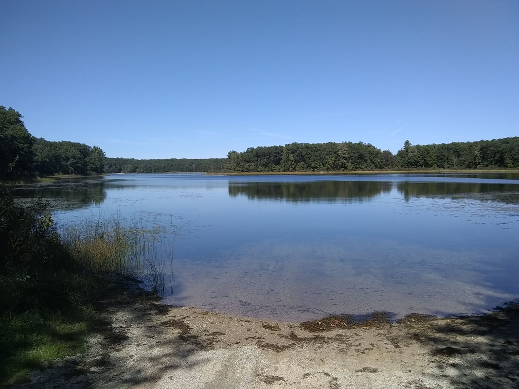 
0 Comments
Your comment will be posted after it is approved.
Leave a Reply. |
Features and FunConcerts, Plays, Happenings, Local Recipes, Gardening, Entertainment, Charities, Fundraisers, upcoming events, Theater, Activities, Tech, and much more. Archives
July 2024
Categories“We don’t have a choice on whether we do social media, the question is how well we do it.”
- Eric Qualman |
 RSS Feed